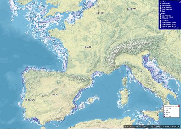
A new tool developed by the JRC provides for the first time detailed maps of high intensity fisheries areas in 2014-2015 in Europe. Thanks to tracking data of fishing vessels, it is possible to derive information about the fishing habits of coastal communities and to know, for example, the areas where they fish more frequently.
This information is crucial to tailor policy and management strategies to boost blue growth, the EU strategy for a more profitable and sustainable exploitation of marine and maritime resources.
Publication Date
Nature
Website
Charge
FREE
Data Source
Multiple data sources
Subject
fisheries
AIS (Automatic Identification System)
vessel tracking
fishing grounds
fishing effort
Functionality
Cartography
Data visualisation
Maps
Statistics
Link to application